INSUBCONTINENT EXCLUSIVE:
registration of Aras Geopark is under study by UNESCO, and if approved by the experts of the supreme council of world geoparks, it will be
Free Zone Organization in the realms of studying, identifying, and preserving this geological heritage, the report said.The expert made the
remarks during a meeting with the authorities of Aras Geoparks, adding a possible registration would meet strict criteria.An appropriate
understanding of geology and how a geopark is formed is not enough to establish and enter the UNESCO Global Geoparks, the expert said.He
went on to highlight that the ability of a geopark to develop local livelihoods, knowledge of indigenous customs, and the welfare of local
communities are important factors to help achieve this privilege.Over the past couple of years, Aras Geopark has made its best to become
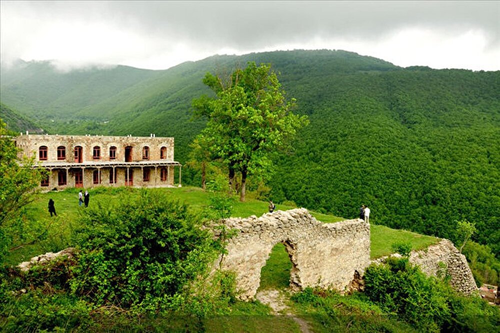
well qualified for the UNESCO status, the report added.Situated in East Azarbaijan province, Aras Geopark covers an area of about 1670
square kilometers, sprawling across the whole Jolfa county
The topography is generally extremely steep and forms astonishing landscapes so the highest point in the Jolfa region is the Kiyamaki mount
with 3347 meters and the lowest points include the northern boundary and the Aras River valley with 720 to 390 meters.The property has an
appropriate geo-tourism attraction, because of its mountainous landscapes, an outcropping of different sedimentary and igneous rocks,
diversity in tectonic structures, semi-cold and semi-arid climate, and diverse flora and fauna.The UNESCO-designated Qeshm Geopark in the
Persian Gulf embraces a wide range of ecotourism attractions such as the Hara marine forests and about 60 villages dotted mostly across its
Qeshm Island has an abundance of wildlife, including birds, reptiles, dolphins, and turtles as well.A UNESCO definition of the global
geopark is a unified area with a geological heritage of international significance.Experts say geoparks usually promote awareness of
geological hazards, including volcanoes, earthquakes, and tsunamis and many help prepare disaster mitigation strategies with local
Moreover, they yield records of past climate changes and are indicators of current climate changes as well.AFM