INSUBCONTINENT EXCLUSIVE:
region in East Azarbaijan province.The global registration of Aras Geopark is a turning point for tourism development in East Azarbaijan
province, which signals an increase in the number of foreign visitors, IRNA quoted Majid Kiani as saying on Saturday.Aras Geopark covers an
area of about 1670 square kilometers, sprawling across the whole of Jolfa county
The Aras River forms the northern boundary of the geopark, serving as the dividing line between Iran, Armenia, and Azerbaijan.In that
regard, the Aras Free Zone Organization has invited a host of foreign envoys, diplomats, economic agents, and media personnel to celebrate
the UNESCO designation on June 21, Kiani said.The event is expected to establish a new chapter of international collaboration and encourage
addition to the wealth of intangible heritage encompassing local traditions and ceremonies, Aras UNESCO Global Geopark is home to several
remarkable cultural treasures
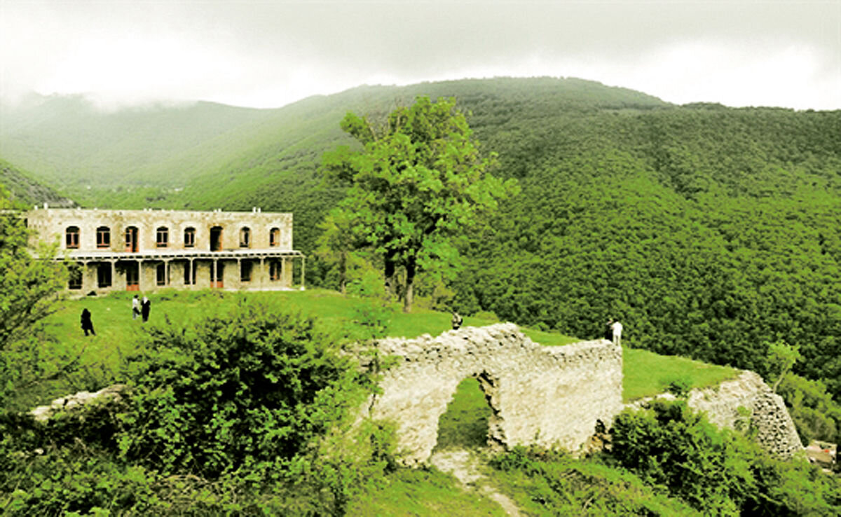
These include a UNESCO world heritage site, Saint Stepanos Monastery, which stands as a testament to the region's historical and religious
significance.Furthermore, the geopark proudly showcases national monuments such as the Khajeh-Nazar Caravanserai, the Historical Bath, the
Duzal Historical Tower, the Zia-ol-Molk Bridge, and the Choopan Church, all of which represent iconic elements of the area's cultural
heritage.Within the geopark region, there are three designated protected areas
The area's conservation efforts are significantly influenced by its rich wildlife variety and the existence of endangered species like the
Caucasian black grouse, red deer, Armenian ram, and leopard.In the central areas of the Geopark, there are Cretaceous and Eocene sandstone,
shale, and marl beds with prevalent flysch facies
Towards the east, intrusive igneous rocks, primarily granitic, dominate the region
In the southern and central parts of the area, there are volcanic and sub-volcanic rocks.The UNESCO Global Geopark label was created in 2015
It recognizes the geological heritage of international significance
Geoparks serve local communities by combining the conservation of their significant geological heritage with public outreach and a
sustainable approach to development.Experts say geoparks help promote awareness of geological hazards, including volcanoes, earthquakes, and
tsunamis and many help prepare disaster mitigation strategies with local communities
Moreover, they yield records of past climate changes and are indicators of current climate changes as well.AFM