INSUBCONTINENT EXCLUSIVE:
TEHRAN- The Khayyam satellite of Iran has reportedly begun using remote sensing to track and record changes in land usage, according to the
spokesperson for the Iranian Space Agency (ISA).Hossein Daliriyan said on Saturday that ISA and the Information Technology Organization of
Iran (ITO) have examined legal avenues to produce and deliver the first batch of satellite photographs to court authorities resisting land
expropriation.He said that ISA and ITO had previously signed a memorandum of cooperation after the latter asked for more precise data and
satellite-based observations of the land surface in order to settle legal issues between common individuals and government agencies.While
information is being gathered and processed in accordance with the agreement, the two Iranian organizations are investigating all available
legal options in order to reach advantageous outcomes and provide the initial batch of satellite photos to assist with different land grab
country as part of efforts to implement the memorandum of understanding
These images will be utilized in order to address legal challenges of ordinary people and state institutions concerning land use
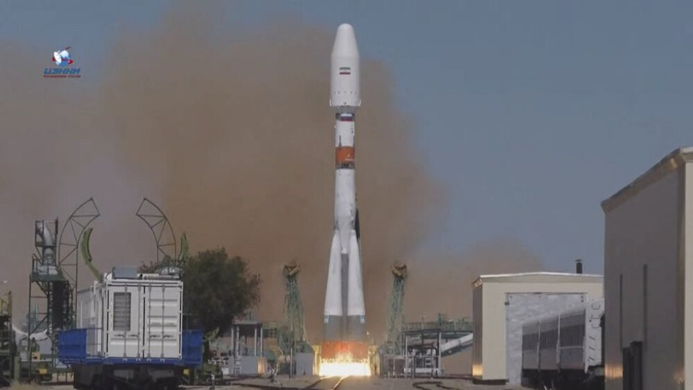
back in August of last year from the Baikonur Cosmodrome in Kazakhstan, which is run by Moscow, signaling what Iran dubbed the start of
capabilities to provide high-quality images four times per day for use in environmental and agricultural studies as well as water resource