INSUBCONTINENT EXCLUSIVE:
China has released its most detailed map yet of grassland vegetation on the Qinghai-Xizang Plateau, using a scale of 1:500,000.The map,
developed by a team led by Wang Yanfen, a professor at the University of Chinese Academy of Sciences (UCAS), was officially unveiled on
Tuesday during an academic seminar on grassland vegetation mapping, according to the Science and Technology Daily.Experts at the seminar
noted that the map, based on field surveys and multi-source remote sensing data, accurately depicts plant formation distributions and holds
significant implications for climate adaptation, sustainable development and future research on ecosystem functions across the plateau.The
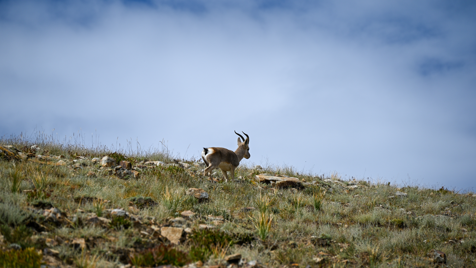
Qinghai-Xizang Plateau, known as the "roof of the world" and "Asia's water tower," serves as a vital ecological security barrier for China
Its ecosystem is dominated by grasslands, which are ecologically fragile and highly sensitive to global climate change.Over the past 50
years, intensified climate change and growing human activity have altered vegetation distribution patterns, rendering existing maps
outdated.The launch of the second scientific expedition on the plateau in 2017 provided a new opportunity to update the grassland vegetation
map.Wang said that 62 major grassland types have been identified, and compared to previously published versions, the new map reveals
significant vegetation changes over the past 40 years.For instance, the proportion of alpine meadows that prefer wet and cold conditions has
increased from 50 to 69 percent in the grasslands, which strongly confirms the ongoing trend of warming and wetting on the plateau, she
added.In the process of preparing the map, the research team integrated in situ surveys, multi-temporal satellite remote sensing data and
artificial intelligence technology.This approach synthesized spectral, structural and functional characteristics of plants alongside
environmental factors like terrain and hydrothermal conditions, Wang explained.