 14
14


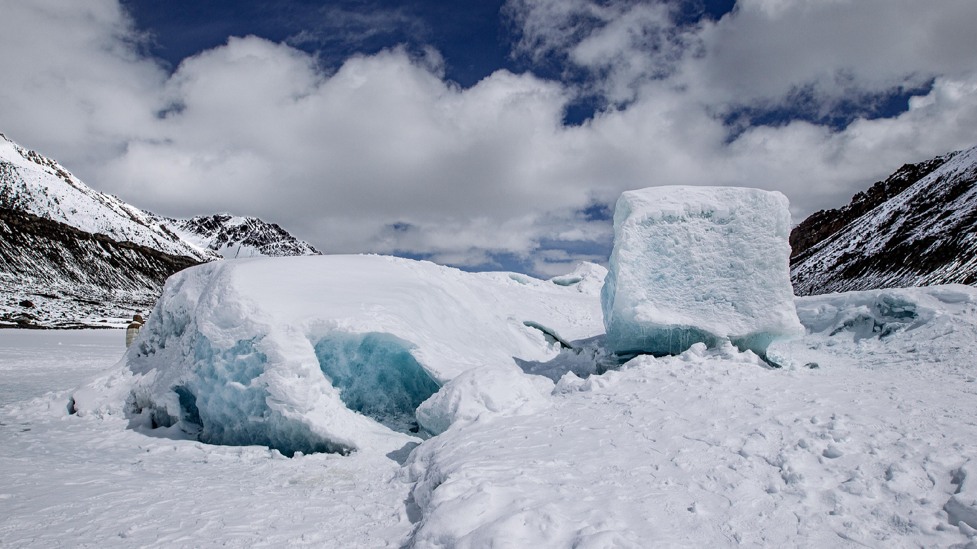
China launched its first airborne survey of marine glaciers in southwest China's Xizang Autonomous Region on Tuesday, aiming to investigate their development patterns and melting changes, and provide data support for natural resource management.Marine glaciers refer to natural ice bodies that have existed for many years on the surface of polar or high mountain regions and can move along the ground.
The first survey point for this airborne investigation is the Renlongba Glacier in Qamdo City in Xizang.
The survey team will work at sites above 4,700 meters in elevation."Marine glaciers, also known as temperate or warm glaciers, have a higher ice temperature and certain characteristics.
They freeze and melt rapidly, and their movement patterns are quite evident," said Wang Shanshan, a senior engineer from the Natural Resources Airborne Geophysical and Remote Sensing Center of China (AGRS).Marine glaciers are subject to variable climates and complex topography, making data collection extremely difficult.
The airborne survey of marine glaciers, for the first time, addresses the challenges of high altitudes, low temperatures and vast areas with a comprehensive survey and monitoring system integrating satellite, aerial and ground-based methods."This is actually a national geological survey mission.
By conducting a multi-dimensional observation and monitoring system using satellite, aerial and ground-based technologies, we aim to map the distribution range, thickness and changes of marine glaciers, and thus calculate the amount of ice reserves," said Xiong Shengqing, chief scientist from AGRS.Marine glaciers are a precious source of solid freshwater, a highly sensitive indicator of global climate change, and a crucial participant in global water cycles and climate regulation.
By exploring marine glaciers, scientists can better understand the processes of global climate change, providing a scientific foundation for addressing climate change."The melting of glaciers may lead to changes in biodiversity, climate and even sea level.
By conducting on-site surveys, we can obtain more accurate data.
With this data, scientists can analyze the glaciers and predict their impacts on water resources, the environment and ecosystems," said Xiong.(Cover: The Renlongba Glacier in Qamdo City, Xizang Autonomous Region, April 5, 2024.
/VCG)